In early October I spent a long weekend in one of my favorite places on earth: California’s Eastern Sierra. If you don’t quite know where that is, don’t feel bad. Many Californians aren’t sure either.
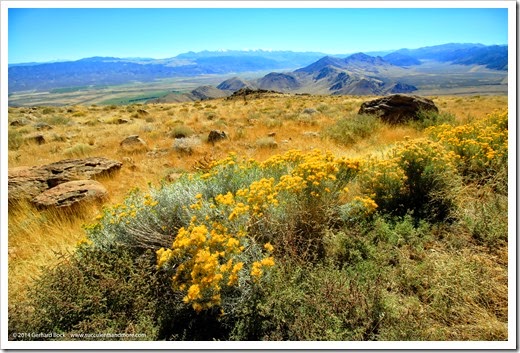
Fall-flowering rabbitbrush ( Ericameria parryi) on Monitor Pass, looking towards Highway 395
In the most basic terms, the Eastern Sierra is the area to the east of the Sierra Nevada, the mountain range that separates California’s Central Valley from the vast Basic and Range Province that stretches east to Colorado Plateau. While the western side of the Sierra Nevada has long reached iconic status thanks to Lake Tahoe, Yosemite National Park and Sequoia and Kings Canyon National Parks, the eastern side is less known. Ironically, the Eastern Sierra is much easier to explore. Highway 395 follows the Sierra Nevada from Reno, Nevada all the way down to Southern California. If you’re in a hurry and don’t have time to stop, you’ll still see majestic sights such as Mono Lake and some of the highest peaks in the Sierra, including Mount Whitney—at 14,505 feet (4,421 m) the highest summit in the contiguous United States—without ever leaving the highway.
Read more »